BOUNDARIES DONE RIGHT
At VVO Land Surveying, we provide precise boundary, topographic, and construction staking services tailored to residential, commercial, and municipal projects across Upstate South Carolina. Our team combines field accuracy with clear reporting to support property transactions, site planning, permitting, and development. Local experience, reliable schedules, and practical, state-compliant deliverables help reduce delays and unforeseen costs. Contact VVO Land Surveying for a project estimate or to discuss how our services can support your property needs.
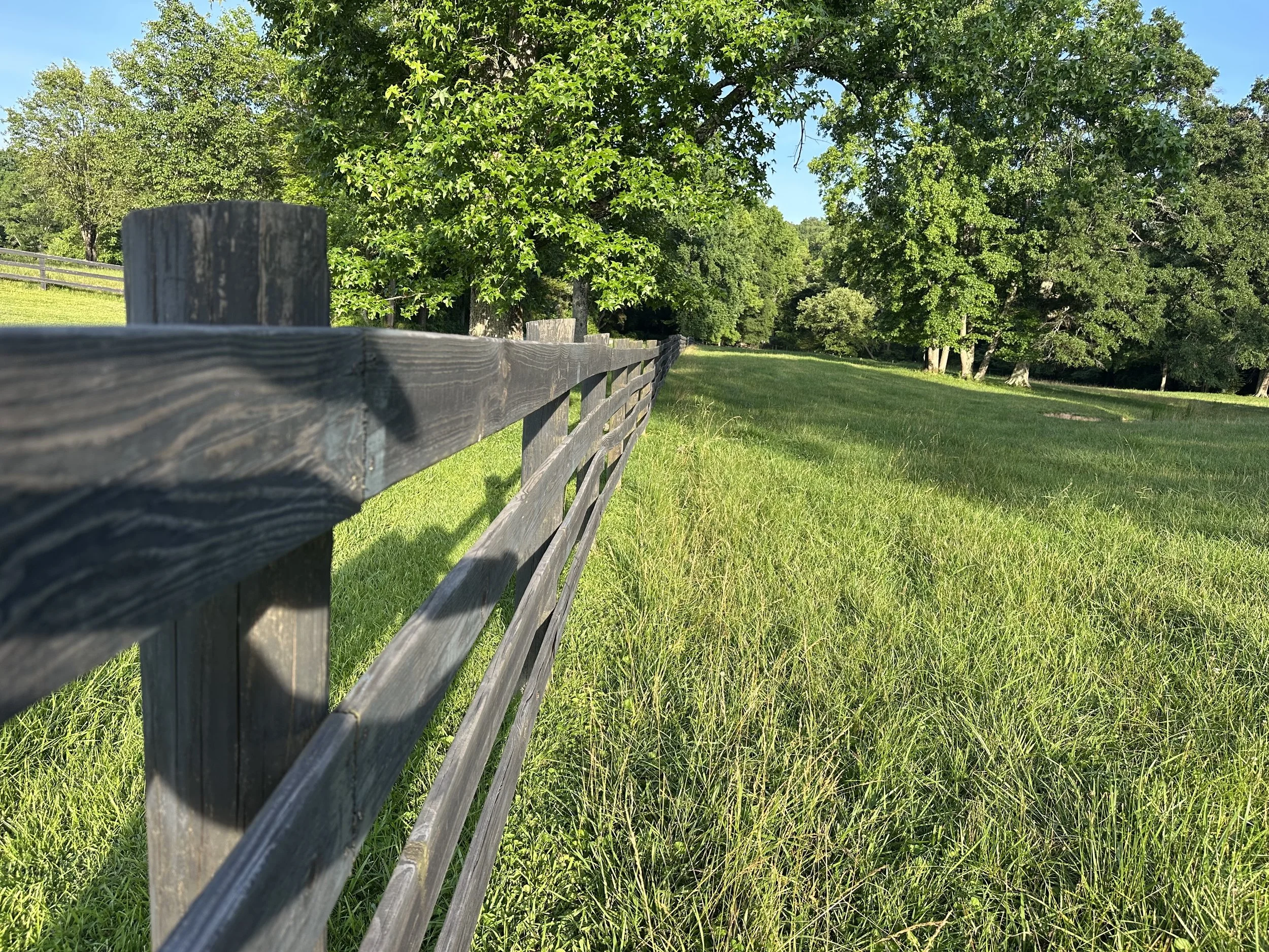
Land Surveying Services
Boundary Survey
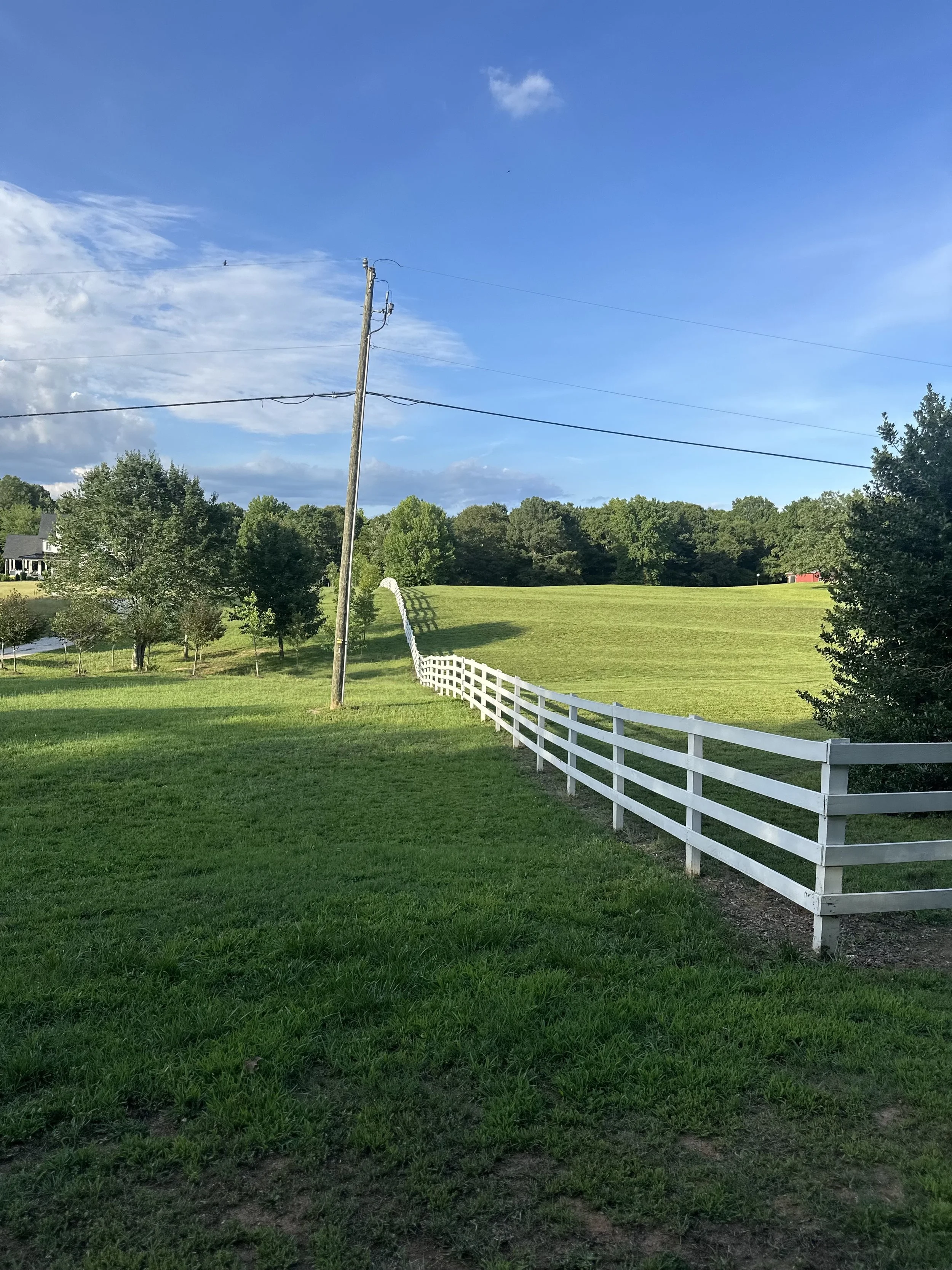
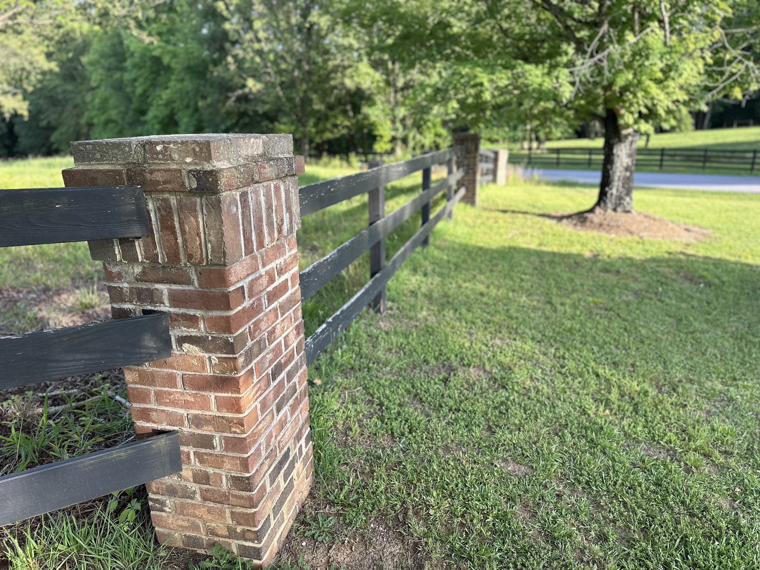
A boundary survey formally identifies and maps the exact legal corners and property lines of your land, helping you verify ownership, plan improvements, and prevent neighbor disputes.
Topographic Survey
An elevation certificate is an official document that verifies the precise height of your building relative to local flood zones, helping you comply with building codes and potentially lower your flood insurance rates.
Elevation Certificate
A topographic survey maps the shape of your land, showing exact elevations, contours, and physical features like trees, buildings, and utilities to ensure your design and construction projects are planned accurately.
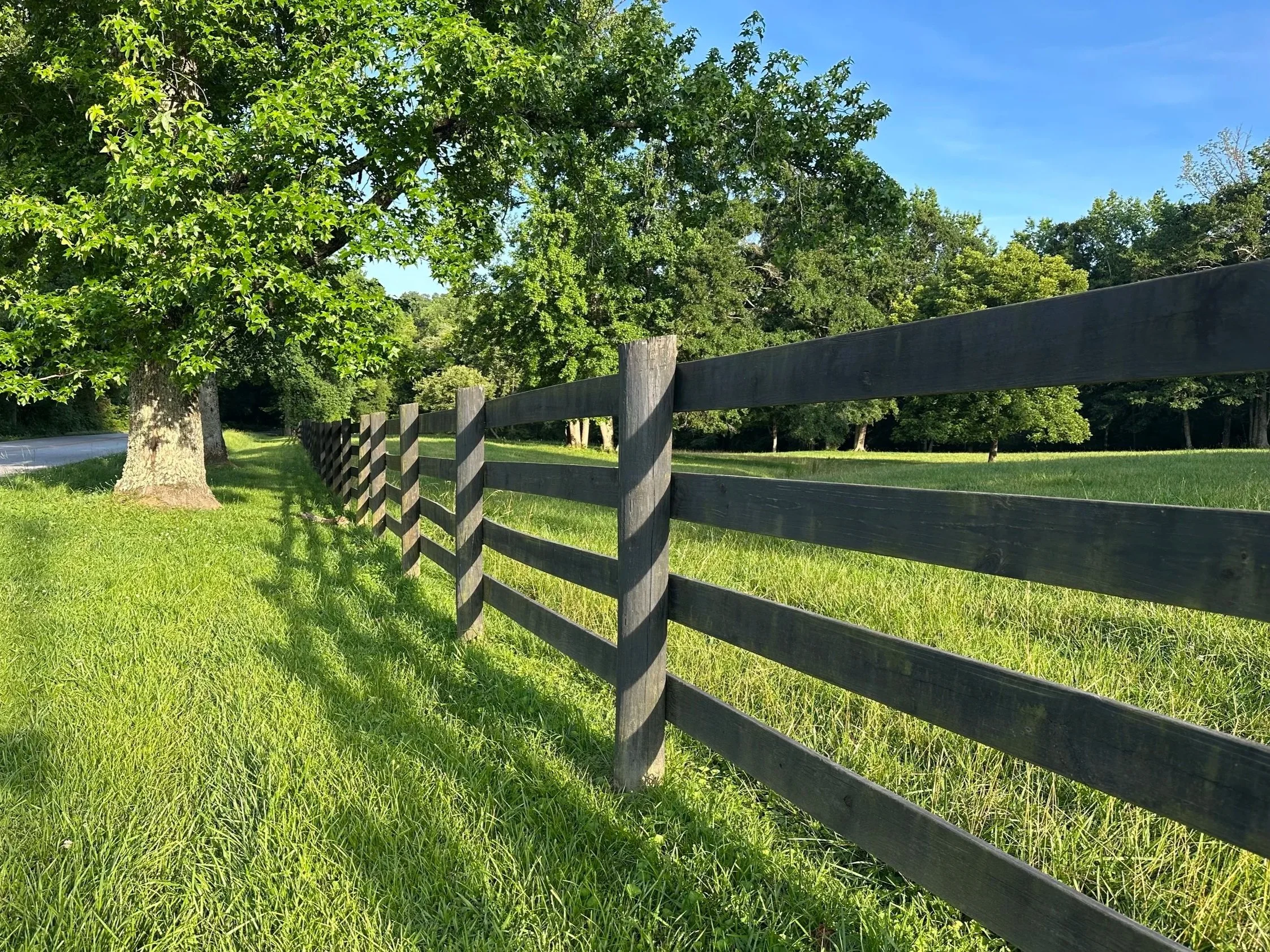
Comprometidos con la comunidad latina
Ofrecemos nuestros servicios totalmente en español para un claro entendimiento de los conceptos y regulaciones en las ordenanzas territoriales de los diferentes condados de Carolina del Sur.
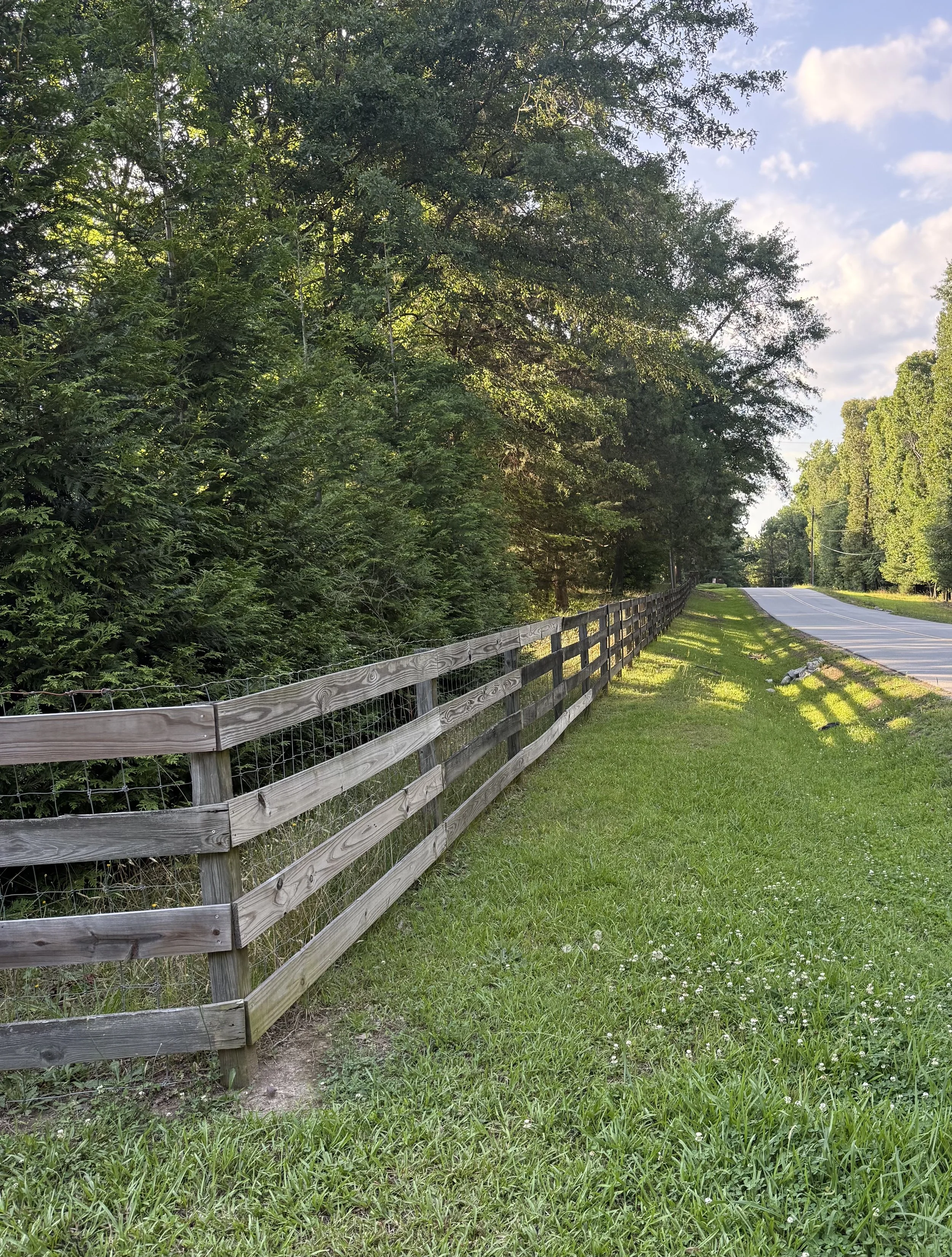
Servicing the Upstate of South Carolina